Building a more resilient Michigan. Together.
Where we Work
Community Science


About us
We are collecting crowd-sourced data on flood events and impacts across Michigan. Find out how you can get involved.
We are researchers, professionals, and residents of Michigan committed to developing useful and relevant tools and data that will assist our communities in building a more flood-resilient future.
We are partnering with organizations in three Michigan watersheds. Find out more about locations, partners, and priorities here.
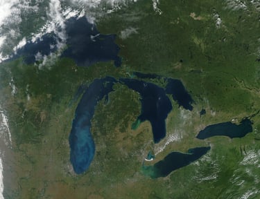
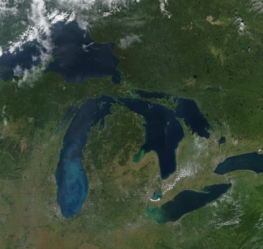
MODIS image of the Great Lakes with the Lower Peninsula of Michigan in the center. Image Credit: NASA.
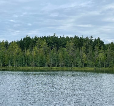
Glory Lake at Hartwick Pines State Park, MI. This work © 2023 by Wendy Robertson is licensed under CC BY-NC-ND 4.0
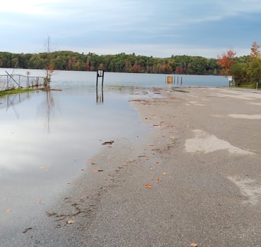
Flooding at Lower Herring Lake Boat Access, 2019. Lesley O. Regan, CC BY 4.0, via Wikimedia Commons
mifloodresilience@gmail.com
The MI Resilient Watersheds Project is a collaborative initiative supported by the US Department of Energy's Office of Science under award number DE-SC00025260 to Central Michigan University.


www.mifloodresilience.org