MI Resilient Watersheds Project
Goal
Objectives
Explore shifts in extreme precipitation and flood risk
Evaluate how existing and proposed storm-water infrastructure may handle future storm scenarios
Develop community-level maps and tools to visualize probable future flood risk and impacts
Co-design and evaluate resilience strategies aligned with community priorities and goals
The MI Resilient Watersheds Project will increase flood resilience in Michigan communities by collaborating with partners across organizations, entities, and governmental units to co-create data and tools that support informed decision-making.
Where We Work
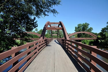
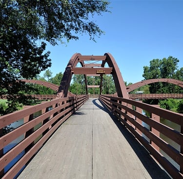
'Tridge' over the confluence of the Chippewa and Tittabawassee Rivers in Midland, MI. Phil Squattrito, CC BY 2.0 via Wikimedia Commons
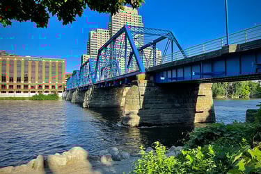
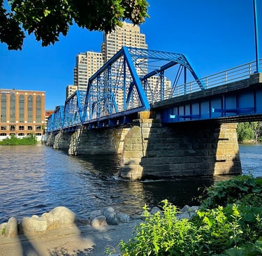
Blue Bridge, Grand Rapids MI. WMrapids, CC0, via Wikimedia Commons
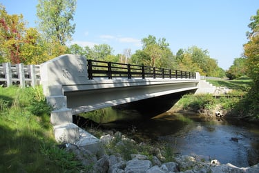
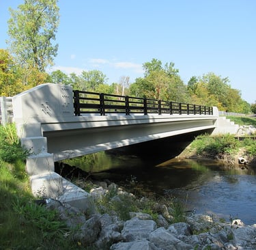
Lilley Road Bridge over Rouge River near Canton, MI. CC0, via Wikimedia Commons
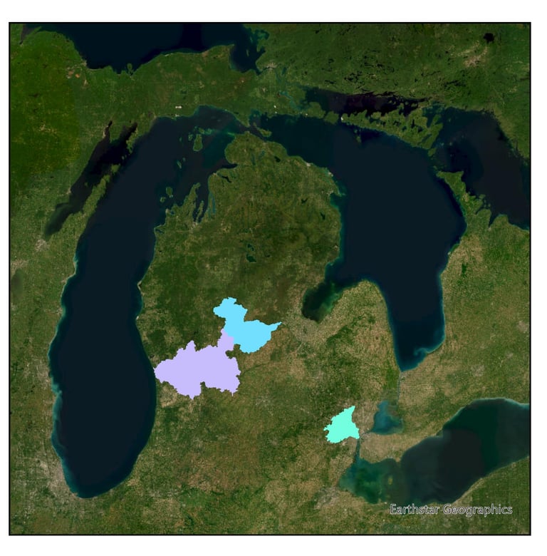
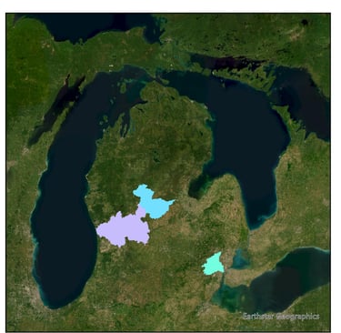
Map of the Chippewa River, Lower Grand River, and Rogue River Watershed boundaries (HUC). Base layer from Earthstar Geographics.
mifloodresilience@gmail.com
The MI Resilient Watersheds Project is a collaborative initiative supported by the US Department of Energy's Office of Science under award number DE-SC00025260 to Central Michigan University.


www.mifloodresilience.org